Get to know our work
Pixely has sucessfully implemented and supported geospatial, retail, blockchain, development, and other tech projects for leading companies across a variety of industries.
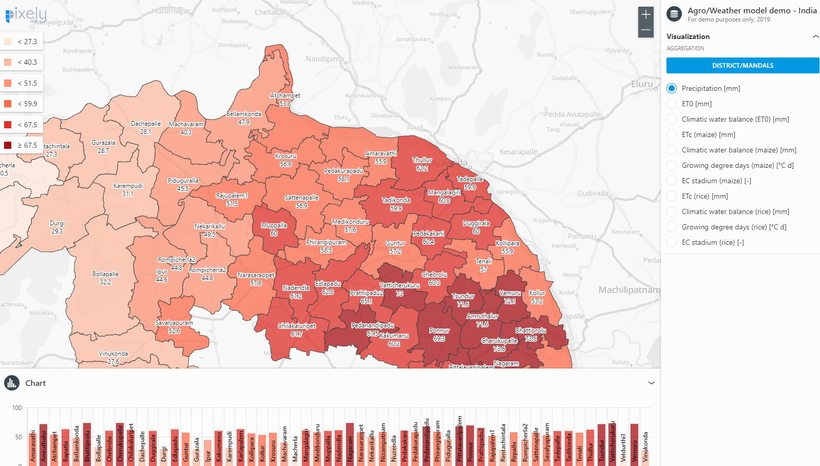
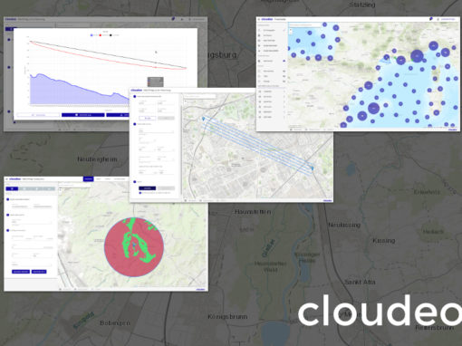
Corpis Maps
Integrating geospatial data and results from weather models for the purposes of agricultural planning, Corpis Maps is being used as a platform to develop end-user applications with the goal of surveying geological and geographical conditions in India.
Its aim is to determine the most appropriate and productive crops for each region, support risk assessment and optimize the operations of local Indian farms. The project is in a prototyping phase and is being jointly developed with our partner Agrifortis.


How to find us
Get in touch for a call or a demo
Pixely Technologies GmbH
Pixely Technologies GmbH,
Baierbrunnerstr. 25, 81379 München, Deutschland
Pixely Technologies E.O.O.D.,
Sofia, Bulgaria
Follow us: