How climate change affects agriculture and how technology can help
Climate change, agricultural insurance, geo-spatial data, and remote sensing are just the some of the hot topics we discussed during the recent “Agricultural Insurance in Changing Climate” Symposium that took place earlier this month in Freising (Germany), organized by Genillard & Co, with the support of Climate-KIC.
Photo credit: Thomas Diesinger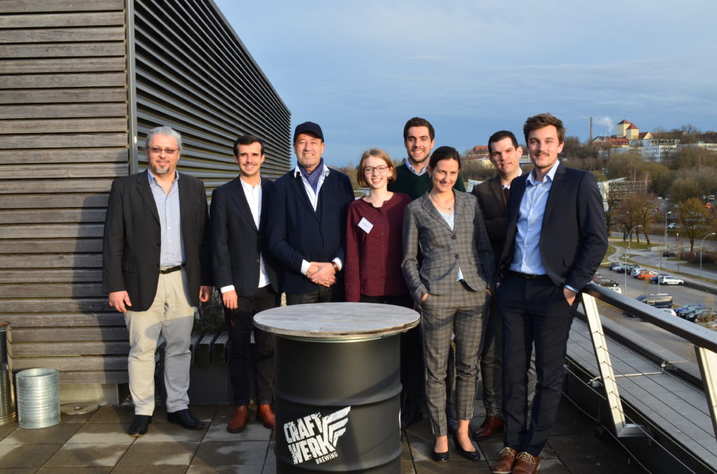 Climate change is influencing global weather patterns and bringing on extreme events and changes in temperature, which are threatening the ability of farmers worldwide to sustainably produce and maintain the expected quality of crops.
Research institutes all over the world are trying to analyze the impact of climate change and develop new techniques, processes and technologies to support the sustainability and efficiency of the agricultural industry. In addition to governments, the insurance industry should also be involved in supporting the recovery processes and operational sustainability of natural disasters (drought, flood, hail storm) and man-made incidents.
Today, the leading reinsurance companies provide not only financial support but also actively fund the development of software and analytics for assessing risk in a probabilistic or deterministic way, using new technologies.
Photo credit: Alex Rinkus / Infogrades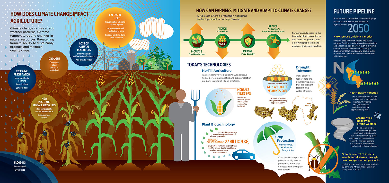
As robotics and automation help farmers increase their efficiency and critical response time, the usage of remote sensed geo-spatial data is helping build early-warning systems and monitoring tools to estimate risk before events occur. One example of this approach is using Sentinel2 satellite imagery to calculate vegetation indexes and analyze the biomass on a field, and using radar satellites to assess chlorophyll reflection. Remote sensing can thus be instrumental in constructing effective decision support systems for farmers.
The industry trend of introducing final decision support information to farmers rather than providing them with raw geo-spatial data, is also of utmost significance. Companies like cloudeo are integrating all relevant decision-making data in a geo-information platform and enabling the use of consolidated information directly on farmer smartphones or through farm management systems.
Interested in learning more about the trends in geo-spatial data needed for decision making in agriculture? Get in touch with us, we are experts in developing geo-spatial applications for the insurance, reinsurance, and agriculture sectors.
Get to know our work
Pixely has sucessfully implemented and supported geospatial, retail, blockchain, development, and other tech projects for leading companies across a variety of industries.
How to find us
Get in touch for a call or a demo
Pixely Technologies GmbH
Pixely Technologies GmbH,
Baierbrunnerstr. 25, 81379 München, Deutschland
Pixely Technologies E.O.O.D.,
Sofia, Bulgaria
Follow us: